


National Geographic World Atlas app for iPhone and iPad
4.2 (
8112 ratings )
Reference
Education
Developer: National Geographic
1.99 USD
Current version: 4.1.1, last update: 8 years agoFirst release : 01 Apr 2010
App size: 63.07 Mb
Welcome to the redesigned World Atlas app from National Geographic, the best world geography reference resource available. The Atlas features Nat Geos award-winning cartography and stats and facts about every country on Earth.
Curious about a place in the news, looking for a trusted source of information for a school project, or just want to spin the globe and explore? The Atlas puts the world at your fingertips.
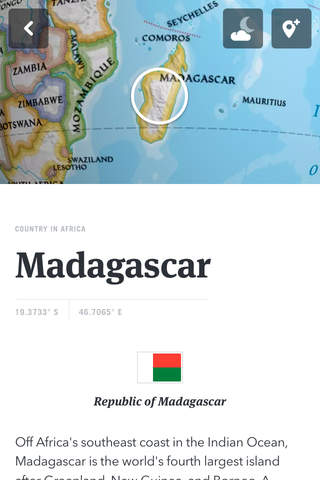
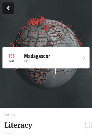
- Get flags, facts, and stats for every country and territory
- Receive daily trivia, pop quizzes, and on-this-day information
- Create pin lists of places youve been and places you want to go
- Download maps for offline use
- Get real-time weather data
Pros and cons of National Geographic World Atlas app for iPhone and iPad
National Geographic World Atlas app good for
Beautifully rich graphics and easy to use interface. This app goes from strength to strength. Well done Nat Geo. You have always been the best!
For anyone like me whos never used any of the previous versions, its a great app. Intuitive design, nice layout, great features, all make it fun to use and fairly responsive.
The FAQ section adequately answers the complaints about the lack of (Bing) zoom-in capability as a result of a fundamental change in the apps architecture.
Theyre welcome changes im willing to wait for as well as for the features others have complained are gone.
Easy to use. Only thing, wish it would be a bit faster when zooming in.
Like the different colouring of the executive charts, like the information on the countries.
Would be nice to have some distance measuring tools, straight line and circle.
Over all great app for a chart love like me.
地図が地球儀っぽい色味でGoogle Earthとは違った質感
直線距離を手軽に測れるのもいいね
Wish you put some usefull and simple language samples on countries !
Like, hello, how are you , how to find ........ , how much is this, nice to meet you, good morning asv.
I must say I like this new version but I couldnt find a button for a physical map. I believe its going to be much better.
Some bad moments
Really disappointed . I wanted to find detailed parts of a country & towns. I search for a town but they cant find it. But am happy my money goes to the Royal Geographical as they do great work
Impossibly slow download of maps for offline use. Whats with your servers?
Positions pins bug and go crazy
The only cool thing seems to be the spherical rendering.
The highest zoom level available is ridiculous. Only the main cities are visible, and the search function is unable to find medium size cities. No map streaming at a higher zoom level contrary to what is stated in the description. Many free low quality atlases provide more information than this ! Many Openstreet Maps based apps give far more information than this. So what happened ? National Geographic ?
I am very frustrated because I paid for the original high quality and professional maps and I was negatively surprised by an inexplicable downgrade to this new toy version.
It really surprised me that an organization like National Geographic would allow such a shame, compromising its dependability. I paid in confidence of the NatGeos name and I got what I paid for in the first app. Successive updates degraded the app to the useless app it is now. And they dont even answer your emails. Shame on you.
Hard to believe this is National Geographic stuff... I give up... Ill just uninstall it...